|
|
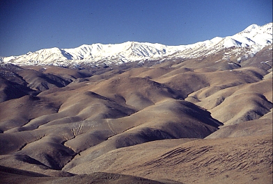
View from La Silla (2450m) in July, with snow covering the mountain ranges above about 3000m (the mountains in the picture reach altitudes of around 4000m). |
|
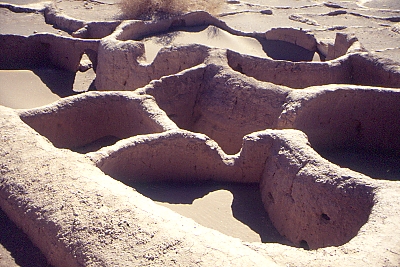
Half-buried ruins of the ancient (800 BC) indigenous village of Tulor, at the edge of the salar de Atacama (2400m). We bicycled to get here. |
|
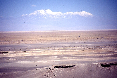
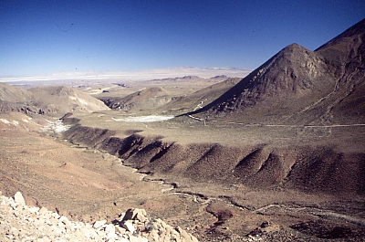
Looking across the Salar de Atacama towards the Southeast, snow-covered mountains and volcanoes on the altiplano are visible from more than 100 km distance. |
|
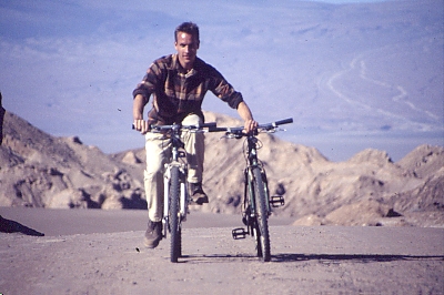
Near the top of a steep hill, Joana jumped of her bike, ran ahead, and took this picture. |
|
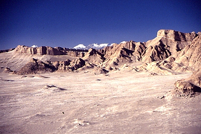
Valle de la Luna, backed by snow-capped volcanoes. |
|
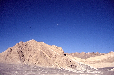
Valle de la Luna, with Luna in the sky. |
|
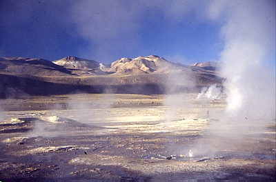
Geysers del Tatio (4300m). |
|
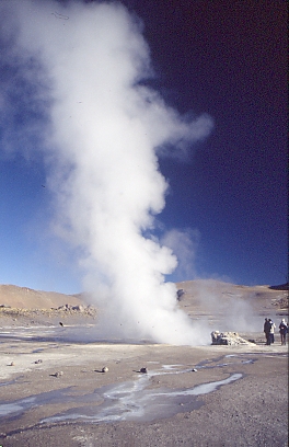
Geyser. |
|
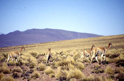
Vicunhas, just about to leave... |
|
Looking West in the direction of the village Caspana, with the Atacama dessert in the distance. |
|
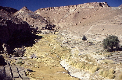
Farmland near Caspana. |
|
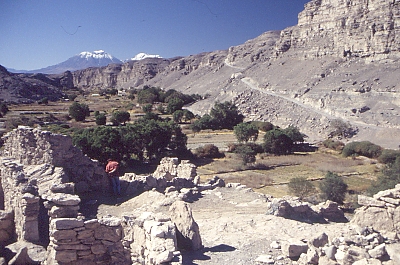
View from top of the 12-th century Pukara de Lasana. The snow-capped pair of volcanoes in the background must be those of San Pedro and San Pablo. |