|
|
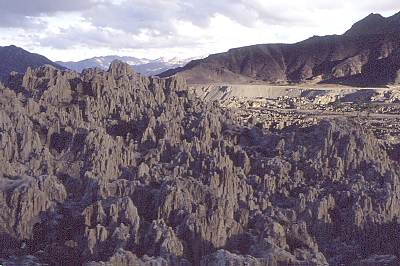
Valle de la Luna near Mallasa (3600m) just Southeast of La Paz, a day trip to acclimatise, and to give the Instituto Geographico Militar time to copy a map for me (always add an extra day or two when in Bolivia). |

|
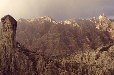
Still Valle de la Luna, with the Sun setting and the weather turning nasty. Beautiful. |
|
About time to return La Paz (by bus). |
|
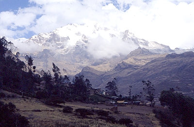
The trek started in the town of Sorata (2800m), and headed Southeast, keeping the cloudy Nevado Illampu (6368m) on the right. |
|
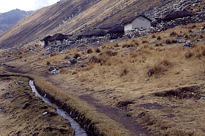
Estancia Lakhathiya (3800m). |
|
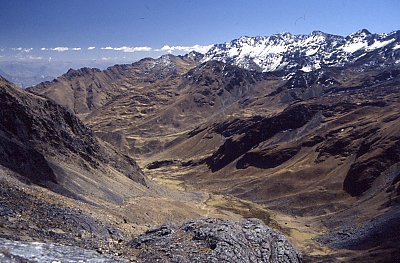
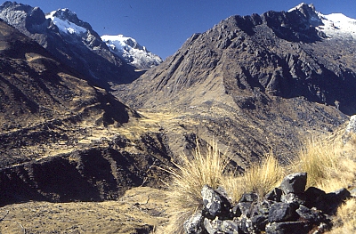
On an unnamed pass (4850m; just South of Cerro Huila Kkota), looking Eastwards ahead into the Quebrada de Janq'uma Jahuira. |
|
... and looking back through the valley of the Rio Lakhatiya Jahuira towards Sorata, which is invisble down in the blue haze. |
|
Surprise: another (four-legged) traveller, on the Abra Kkora Huasi (4479m) looking back and beyond from where I came into the valley of the Rio Chuchu Jahuira. |
|
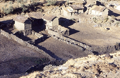
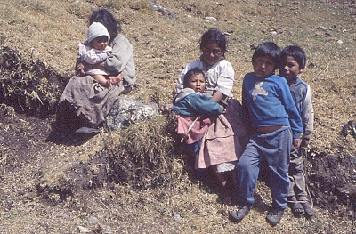
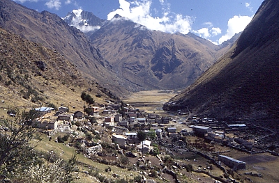
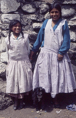
Children in the village of Cocoyo (3560m). |
|
Leaving behind Communidad Cocoyo, looking back towards the Abra Kkora Huasi on the right and the Illampu on the left. |
|
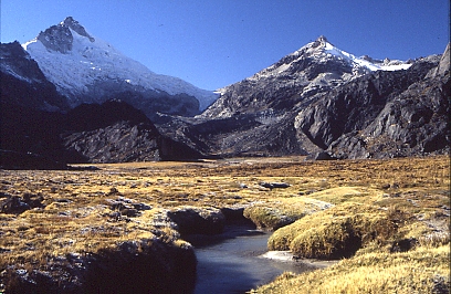
Yet another mountain pass, the Paso Sarani (4500m) provides a splendid view of the Grupo Chajowara (5506m) on the right and the Nevado Killibirti (5398m) on the left, in between which I would cross... |
|
... right here (unnamed pass, 4900m). |
|
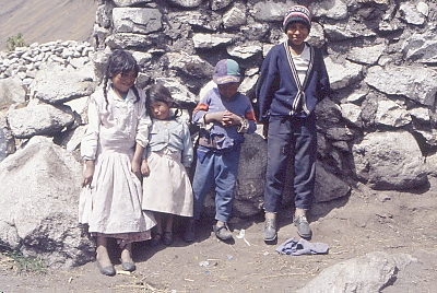
Children in the valley of Rio Chiquini. |
|
And with an older sister. |
|
Irrigation channel in the valley of the Rio Waraco. |
|
Idyllic, but I have to check where was this again... |
|
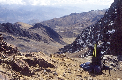
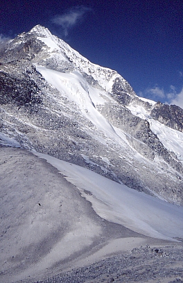
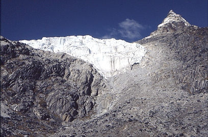
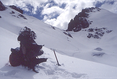
I had to skirt around this glacier (4700m) at the right handside. |
|
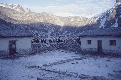
Having shared a few delicious potatoes and stories about the planets, I slept in a storage room. The next cold morning, life starts slowly in Estacion Lloco Lloconi. |
|
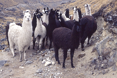
Llamas forcing me to leave the road, in the upper part of the valley of the Chekapa river. |
|
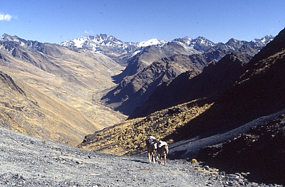
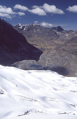
The road stopped below the Apacheta pass (5100m). In the distance is the Grupo Condoriri - with Cerro Condoriri (5648m) just visible on the left - but, running low on supplies, at the bottom of the valley I would turn right towards the altiplano. |
|
Looking back towards the Apacheta pass, I had left a clearly visible trail. The only other marks in the snow were the footprints of a puma. |
|
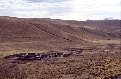
Hamlet near Lago Sora Kkota. The people here were less friendly than at the other side of the mountains. |
|
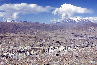
La Paz (3700m), with the Nevado Illimani (6462m) on the right and the Mururata (5869m) on the left. |
|
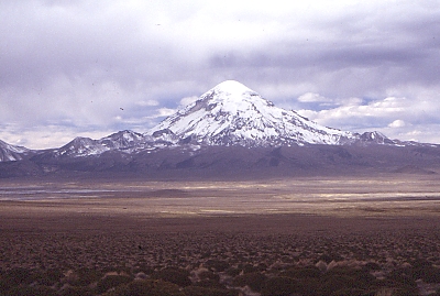
In La Paz I bought a ticket for the bus to Chile: they agreed to drop me off at the border and pick me up a couple of days afterwards. Here a view of Volcan Sajama (6542m) from the Southwest. |
|
And Volcan Parinacota (6342m) from the Southeast. |
|
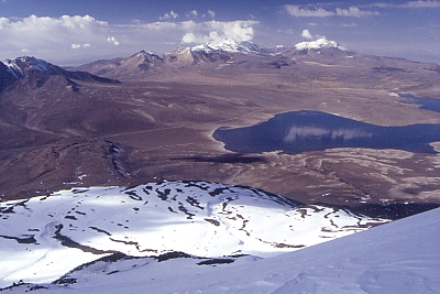
High up the slopes of Volcan Parinacota, there are nice views of Lago Chungara (4500m) and Volcan Guallatiri (6063m, to the right with a little smoke plume), in Chile, where I had walked in 1993. Bolivia lies to the left of the mountain ranges. |
|
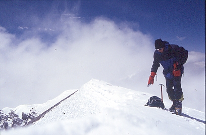
On the top of the crater rim. The time delay of the camera shutter was just not long enough for me to walk back, stand upright and pose properly. |
|
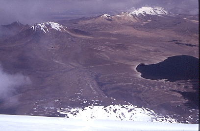
View from the crater rim. I had come from the left, and up via where the snow fields start. The road between Bolivia and Chile runs behind the snow-peaked mountain on the left (the faint trail visible in front is no longer in use). |
|
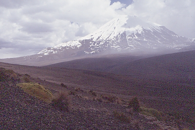
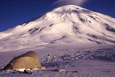
Volcan Parinacota the next morning. |
|
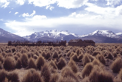
Looking North across the pampa to yet more snow-covered mountains. |
|
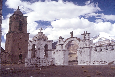
Church in Sajama, with the Volcan Sajama in the background. |